 Lake Como Guidebook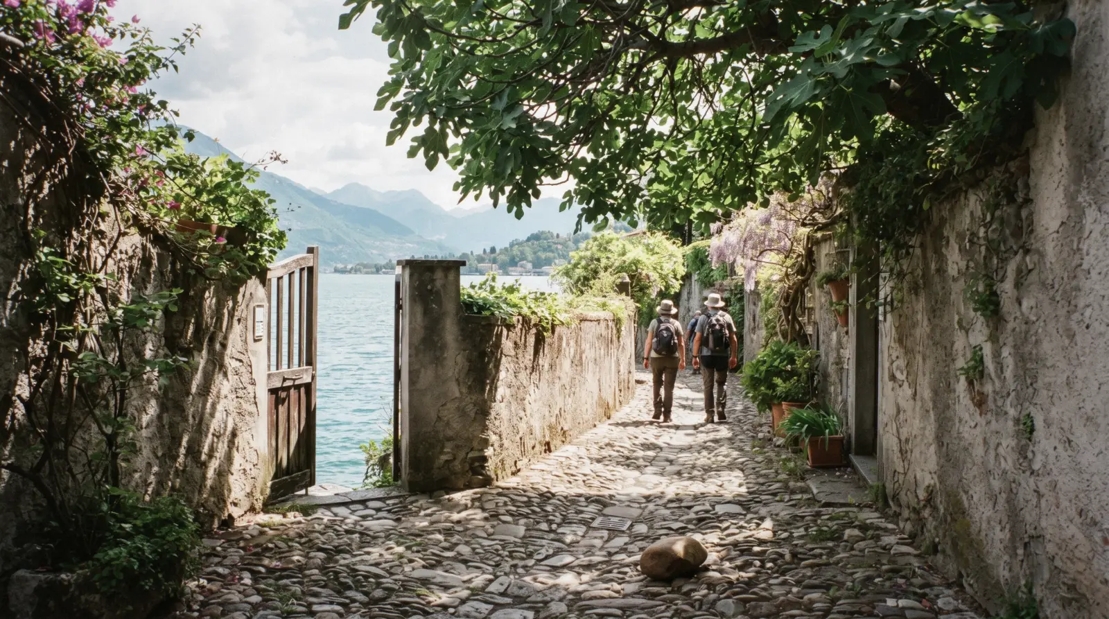
Greenway del Lago di Como
The Greenway del Lago di Como is the free, signposted walking route that links seven villages along the western shore, from Colonno in the south to Griante in the north, on lanes, mule tracks and stretches of the Roman Strada Regina. It is 11.2 kilometres and about three and a half hours, it climbs 221 metres and drops 257, and it passes two of the lake's best-known villas, a UNESCO sanctuary and four churches on the way. It costs nothing and needs no ticket, which makes it the single best-value day on this lake. This page covers the numbers, the seven stages, the start at Colonno and the transport that gets you back. The paid entries along it are on Villa del Balbianello and Villa Carlotta.
Quick answer Distance, climb, where it starts and what it costs
The Greenway is 11.2 kilometres and takes about 3:30 hours, climbing 221 metres and descending 257 between Colonno and Griante. It is free, signposted and needs no booking. There is no railway station anywhere on it.
Key takeaways
- Start at the south end of Colonno, where there is a bus stop and a car park, and follow the signs up Via Cappella and then Via Civetta into the old village. The whole route runs north from there through Sala Comacina, Ossuccio, Lenno, Mezzegra, Tremezzo and Griante
- The two paid stops on it are Villa del Balbianello at Lenno and Villa Carlotta at Tremezzo, and Villa Carlotta's own page puts the two at half an hour apart on foot. A guided villa visit or a garden entry ticket slots into the walk without changing the route
- Buses and boats serve almost every village on the line, so you can walk two stages and ride back. Which service calls where is on the ferry page, and the island offshore at Ossuccio is on Isola Comacina
Key facts
Opening hours
| Open public route, no gates | not stated–not stated |
|---|
Closed None published. The official site maintains a works-in-progress page reporting closures and detours along the route
Admission
- Adult
- Free
- Reduced
- Free
- Free
- Everyone. The route carries no admission, no permit and no ticket of any kind
Planning it
- Time needed
- 3:30 hours for the whole route, stated by the operator, plus the villa stops and the journey back
- Book ahead
- Optional — walk-up usually fine
- Address
- Trailhead: the south end of Colonno (CO), by the bus stop and car park, then up Via Cappella and Via Civetta
Four things you might pay for on a Greenway day, priced from the official sites and from GetYourGuide, read in Q3 2026. The first row is the route itself and it costs nothing, which is why the rest of the table is about the villas and the transport rather than about admission.
The walk is free, so the only question is whether you are paying to go inside the two villas it passes.
| Option | Price | Includes | Booking | Book |
|---|---|---|---|---|
| The Greenway itselfEveryone. There is no version of this route that requires payment | Free | 11.2 km, seven stages, signposted throughout, open all year | None. Check the works-in-progress page for detours | Official site |
| Villa Carlotta museum and garden entry ticketWalkers finishing at Tremezzo who want the garden that the route runs straight past | $20.36 | Admission to the villa and its terraced garden at Tremezzo, on the route | Operator calendar, cancellation set at checkout | Check Availability |
| Villa del Balbianello entry with a guided visitAnyone stopping at Lenno who wants the villa interior rather than only the gardens | $40.72 | Admission and a guided visit at the villa on the Lenno promontory | Operator calendar, cancellation set at checkout | Check Availability |
| Lakeside villas entry tickets with ferriesVisitors doing the villas as the day and the walking as the connective tissue between them | $126.80 | Villa entries with the boat connections between them | Operator calendar, cancellation set at checkout | Check Availability |
The UNESCO sanctuary above Ossuccio, the Sacro Monte della Beata Vergine del Soccorso, publishes no admission price at all, and no ticket is sold for the chapel path. What it does publish is that you cannot drive up to the sanctuary and that the sanctuary itself opens 17:00 to 19:00.
What you can book along the Greenway
Nothing on this list is a Greenway ticket, because there is no such thing. These are the villas the route passes and the ways of covering the same shore on wheels or on water. Prices in USD as listed by the operator.
 from $20.36
Likely to sell out
from $20.36
Likely to sell out
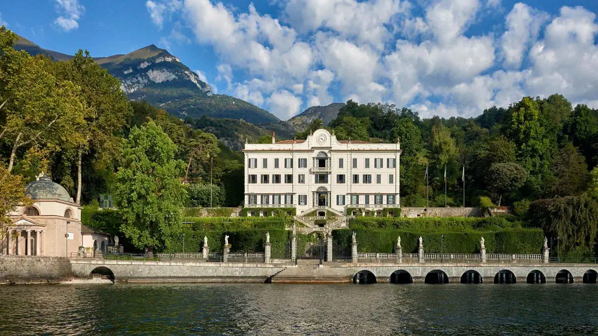
Tremezzina: Villa Carlotta Museum and Garden Entry Ticket
The villa's own entry ticket, sold by the Ente that runs it, covering the museum rooms and the whole terraced botanical garden in Tremezzina. No guide and no transport. Professional cameras are banned on the grounds.
Check Availability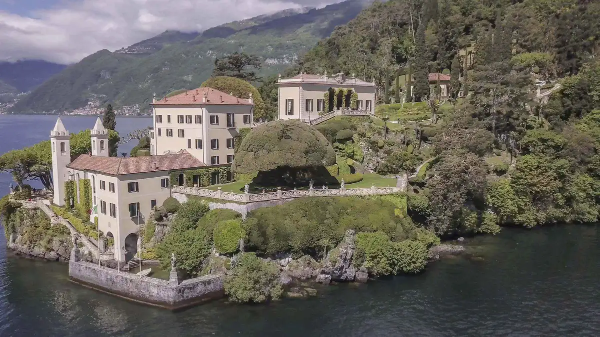 from $40.72
Likely to sell out
from $40.72
Likely to sell out
Tremezzina: Entry with guided visit to Villa del Balbianello
The villa's own owner selling its own guided visit: this is the only listing here that gets you inside Villa del Balbianello rather than into the garden. A combo option adds the historic boat La Velarca by speedboat and runs about three hours.
Check Availability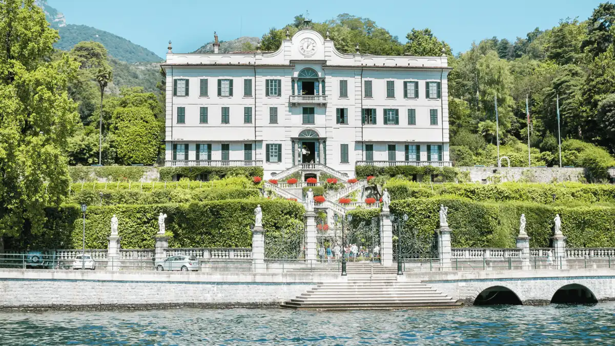 from $126.80
Likely to sell out
from $126.80
Likely to sell out
Lake Como: Lakeside Villas Entry Tickets with Ferries
A self-guided villa day: vouchers for Villa Carlotta, Villa Melzi and Villa Monastero plus a one-day ferry pass, starting from Bellagio, Tremezzo or Varenna. No guide, no fixed schedule. On Tuesdays only Villa Monastero's gardens are open.
Check Availability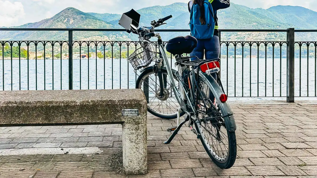 from $104.70
Top rated
from $104.70
Top rated
Lake Como: eBike Tour with Live Guide, eHelmet, and iPad
Three hours on an electric bike around Como with a live guide, an audio helmet and an iPad on the handlebars. The exclusion list is the longest of any listing here: a 160 cm minimum height, a 130 kg limit, and you cannot take the bikes out unguided.
Check Availability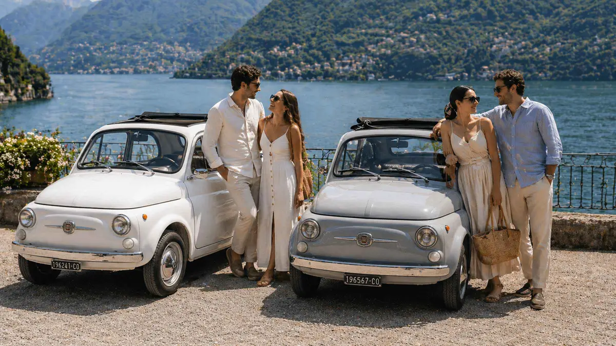 from $175.89
Lake Como: Vintage photo tour with a classic Fiat 500
Three hours in a vintage Fiat 500 with a driver-guide between Tremezzo and Lenno, stopping at viewpoints for photos taken on a smartphone, not by a professional. Private, hotel pickup included, and the car has no air conditioning.
Check Availability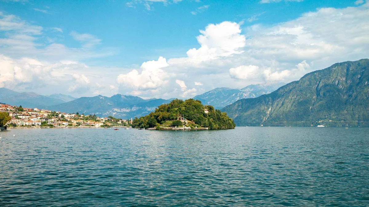 from $46.42
Likely to sell out
from $46.42
Likely to sell out
Tremezzo: Lake Como Premium Shared Cruise
The Tremezzo departure of the same operator's 90-minute panoramic cruise, with the option to step off in Tremezzo or Bellagio. Audio guide by app, headphones required, and the boarding point is in front of Villa Carlotta rather than at the town pier.
Check AvailabilityPrices, ratings and details are the platform's own. Dollar figures are the listed prices. The platform bills in your account's currency.
The route in numbers, and the two official distances
The operator publishes a technical box for this route, which is more than most Italian trails get. It also publishes two different lengths on two different pages, so here is both, with which one we would plan on.
The trail page describes a pleasant six-mile hike and gives 10 km. The Useful Info technical box gives 11.2 km. Both are official. The technical box is the more specific document, and it is the one carrying the elevation figures, so 11.2 km is the number this page uses and the one to budget your legs against.
What the box states, in full: 11.2 kilometres, 3:30 hours, no technical difficulty, and a route that ends at its start point, which is the operator's way of saying that transport back exists rather than that you walk a physical loop. Ascent 221 metres, descent 257 metres, maximum altitude 276 metres, minimum 191 metres.
Read those two elevation figures together and the shape of the day appears: you climb slightly less than you drop, so the route trends downhill overall, and it does so in a series of small climbs in and out of each village rather than in one long ascent. Nothing on it exceeds 276 metres, which is under a hundred metres above the lake surface, so this is a shore walk with gradients rather than a mountain route. The serious walking on this shore is on the hiking page.
| Measure | Published figure | What it means on the day |
|---|---|---|
| Distance | 11.2 km in the technical box, 10 km on the trail page | Budget for 11.2 and treat anything less as a bonus |
| Time | 3:30 h | Without villa stops. With both villas it becomes a full day |
| Ascent | 221 m | Spread over seven villages, not one climb |
| Descent | 257 m | The route trends downhill from Colonno to Griante |
| Highest point | 276 m | Under a hundred metres above the lake |
| Lowest point | 191 m | Roughly lake level |
| Technical difficulty | None stated | Ordinary footwear will do. The surface is stone, lane and path |
The seven stages, one by one
The route is published as seven stages named after the places it passes. Walking it in that order, south to north, puts the descent in your favour and the two villas in the back half of the day.
Colonno to Sala Comacina
The route begins at the south end of Colonno, where there is a bus stop and a car park, and climbs immediately: follow the Greenway del Lago signs up Via Cappella, then Via Civetta, into the historic centre. This first stage is the one that persuades people the route is worth doing, because within ten minutes of leaving the main road you are on stone lanes between houses with the lake dropping away below. Above Sala Comacina the route passes the chapel of San Rocco.
Sala Comacina to Ossuccio
The quietest stretch, and the one with the most Roman road under it: sections here run on the Strada Regina, the route that connected Como to the Alps and gave this shore its name. At Spurano the path passes the church of Santi Giacomo e Filippo, which is tenth to twelfth century. Offshore, opposite Ossuccio, sits Isola Comacina, the lake's only island, open May to the end of October and reachable only by boat.
Ossuccio and the climb towards the sanctuary
Here the route rises towards the Santuario della Beata Vergine del Soccorso, the Sacro Monte di Ossuccio, a UNESCO World Heritage Site since 2003. The chapel path up to it starts at the first chapel on Via Pasquale Castelli, and the network that runs it publishes no admission price and no opening hours for the chapel path itself. It does publish two things worth knowing: you cannot reach the sanctuary by car, and the sanctuary opens 17:00 to 19:00.
The access is described in its own material as difficult for disabled visitors.
Ossuccio to Lenno
The route drops back towards the water at Lenno, which is the natural lunch stop and the point where most people join or leave. Lenno's landing stage is on the scheduled passenger route with calls through the day. The promontory beyond it carries Villa del Balbianello, which is not boat-only whatever you have read: two land routes run from Lenno, one of about a kilometre and one longer trekking path.
Lenno to Mezzegra
A short inland stage through a village most visitors never enter, past the late-Gothic bell tower of Santa Maria Maddalena, which is the single most photographed piece of architecture on the route after the villas. Mezzegra has no landing stage of its own, which is exactly why it stays quiet.
Mezzegra to Tremezzo
The busiest stage, because it delivers you to Villa Carlotta and its terraced garden. Villa Carlotta's own page describes Villa del Balbianello as a half-hour walk along the Greenway from its gate, which is the best single indication of how close together this shore's two headline villas actually are. The Tremezzo landing stage is 450 metres on foot under the porticoes from the villa entrance, per the operator's own timetable note.
Tremezzo to Griante
The final stage, past the parish church of Santi Eufemia e Vincenzo and Villa del Balbiano, ending at Griante. Cadenabbia, in the same comune, is the only landing stage in Tremezzina that takes cars, and the operator's timetable notes it as 900 metres on foot along the lakefront from the Villa Carlotta entrance. From Cadenabbia the car ferry crosses to Bellagio, Varenna and Menaggio, which is how most walkers get somewhere else at the end of the day.
Getting to the start at Colonno, and back from the end
The route has no station, so the transport is a bus, a boat or a car left somewhere sensible. Here is exactly what the operator publishes, including the one contradiction it has not resolved.
By bus, the ASF interurban service from Como San Giovanni reaches Colonno in 45 minutes. And here is the contradiction: the Greenway's own site names that line C10, while Villa Carlotta's official page names the line serving this shore C110. Both are official pages. ASF's own line index could not be read when the research for this guide was done, so neither is printed here as the corrected form: check the number on the stop flag at Como San Giovanni rather than trusting either website. The Greenway site quotes ASF fare bands rather than euro amounts, band 6 from Como to Colonno and band 2 from Cadenabbia to Colonno, and ASF's tariff pages render their tables in JavaScript and returned no figures at all when read.
By car, take the A9 from Como towards Chiasso and leave at the exit marked Lago di Como, which is the last exit in Italy before Switzerland, then follow Menaggio at the roundabout and join the SS340. From the upper lake or from Switzerland, follow the SS340 south towards Como. There is a car park at the south end of Colonno by the trailhead, and public car parks, bus stops and boat stops along the whole route, which is what makes a one-way walk practical.
By train, there is no railway station anywhere on the route. The two options the operator gives are the Milan to Sondrio line to Varenna, then the boat across to Lenno, or a train to Como and then the bus or the boat up the western shore.
By boat, Navigazione Lago di Como serves this shore with the slow battello, the hydrofoil and, in the centre-lake section only, the car ferry, which also carries foot passengers. Lenno, Tremezzo and Cadenabbia all have landing stages. Mezzegra and Griante do not. Whichever way you reach the trail, guided lake Como tours take over the buses, trains and boats that this page has shown to be less straightforward than they look, and some lake Como tours from Milan include the Greenway itself.
- Bus: ASF from Como San Giovanni to Colonno in 45 minutes, line number given as C10 by one official site and C110 by another
- Car: A9, exit Lago di Como, then the SS340. Car park at the south end of Colonno
- Train: no station on the route at all
- Boat: landing stages at Lenno, Tremezzo, Villa Carlotta, Campo, Isola Comacina and Cadenabbia
- Car ferry: Cadenabbia only, and it is the only one in the comune that takes vehicles
How Much Time To Give The Greenway
The operator states 3:30 hours for the whole route. What that leaves out is the villas, the lunch and the journey back, which is why almost nobody actually spends three and a half hours on a Greenway day.
The decision is how many of the seven stages you walk and whether you go inside anything. The half most people want is the northern one, because that is where the villas are. The half nobody walks is the southern one, which is why it is the better half if you came for the walk itself.
| Routing | What you get | What it skips | Door to door |
|---|---|---|---|
| The whole route | All seven stages, Colonno to Griante, 11.2 km, 221 m up and 257 m down | Nothing on the route. The villas need extra hours on top | 3:30 h walking, plus the bus out and the boat back |
| Lenno to Griante | The northern half with Villa del Balbianello, the Maddalena bell tower and Villa Carlotta | The Strada Regina stretches, Spurano and the sanctuary climb, which are the quiet part | About 90 minutes walking, a full day with both villas |
| Colonno to Lenno | The southern half: the climb out of Colonno, the Roman road, San Rocco, Spurano and the UNESCO sanctuary above Ossuccio | Both villas | About two hours, and you will meet almost nobody |
What to check before you go, and what nobody publishes
A free route with no gate has no ticket page to answer your questions. Two things are worth checking and two are simply not published.
Check the works page. The official site maintains a page reporting works in progress along the route and any active detours, and a stage that was walkable last season may be diverted this one. On a signposted route with no staff, that page is the only warning you will get.
Check the weather rather than the season. There are no gates and no opening hours: this is an open public route, and nothing published says it closes. In practice the surface is stone and the shaded stretches stay damp, so an autumn day after rain is slower than the 3:30 hours suggests.
What is not published: accessibility, and dogs. The Useful Info page carries an accessibility panel listing the categories for disabled visitors, older visitors, prams, road bikes, mountain bikes and walking animals, but the yes or no values behind those labels are not shown. So the route publishes the questions and not the answers. Given stone steps and stretches of mule track, prams and wheelchairs should be assumed difficult until the operator says otherwise, and the accessibility page collects what the rest of the lake does and does not state.
- The works-in-progress page: the only published warning about detours
- No opening hours and no closed season: it is an open public route
- Accessibility: the categories are listed, the answers did not render
- Dogs: listed as a category, value not verified
Five Things Most Visitors Do Not Know About The Greenway
All five come off the operator's own pages or the sanctuary's, and each one changes how you plan the walk.
- The official site publishes two different distances, 10 km on the trail page and 11.2 km in the technical box, and both are current [greenwaylagodicomo.com trail and useful-info pages]. - You descend more than you climb. 221 metres up against 257 down walking south to north, which is the argument for starting at Colonno rather than at Griante [greenwaylagodicomo.com useful-info]. - Two official sites disagree about the bus line, C10 on the Greenway's own pages and C110 on Villa Carlotta's, and ASF's index could not be read to settle it [greenwaylagodicomo.com and villacarlotta.it]. - The UNESCO sanctuary above Ossuccio cannot be reached by car, and the network that runs it publishes no admission price for the chapel path at all [sacrimonti.org, Sacro Monte di Ossuccio]. - The route has no Wikidata item. We searched in Italian and English on 9 September 2026 and found nothing, which for a UNESCO-adjacent route on Europe's most photographed lake is genuinely odd [wikidata.org].
On The Greenway: What To Do, And What Not To
Every line here is argued somewhere above, in the form you can act on the morning you set out.
Do
- Walk south to north, Colonno to Griante, so the 257 metres of descent work for you rather than against you
- Check the operator's works-in-progress page the night before, because it is the only detour warning that exists
- Take the southern stages if you came for the walk and the northern ones if you came for the villas
- Buy the villa tickets ahead if you plan to go inside: the garden entry and the guided villa visit both hold a slot the walk does not
- Plan the way back before you start: bus, battello or the car ferry from Cadenabbia, all of which run to timetables
Don't
- Don't budget 3:30 hours for the day. That is the walking time with no villa, no lunch and no journey back
- Don't count on a train. There is no railway station anywhere on the route
- Don't drive up to the sanctuary above Ossuccio: the network that runs it states plainly that you cannot
- Don't take a pram. The accessibility values on the official page did not render, and the surface includes steps and mule track
- Don't assume the island offshore is open: Isola Comacina runs May to the end of October only
Greenway del Lago di Como map: the seven stages from Colonno to Griante
The trailhead at Colonno, the villages the route runs through in order, the two villas on it and the sanctuary above Ossuccio. Pins are placed on the village centres and the entrances, not on the path itself.
The trailhead pin marks Colonno village centre. The official site publishes an interactive map rather than coordinates for the route. Village and villa pins are approximate to their centres and entrances.
Next stop from the Greenway
All three sit on the route or a few hundred metres off it, which is the point of the walk.
Villa del Balbianello
The villa on the promontory, reached from Lenno by a kilometre of uphill gravel in about 25 minutes or by a longer trekking path. Villa del Balbianello closes on Mondays and Wednesdays in season, which catches out walkers who assumed the gate would be open.
On the route at LennoVilla Carlotta
Terraced gardens and a museum whose own page describes the Balbianello as half an hour away along this route. Villa Carlotta sits 450 metres on foot from the Tremezzo landing stage, under the porticoes.
On the route at TremezzoIsola Comacina
The lake's only island, an archaeological park open May to the end of October and reachable only by boat. Isola Comacina has no restaurant, no bar and no toilets at present, so plan lunch on the shore.
Offshore at OssuccioGreenway del Lago di Como questions
Where does the Greenway del Lago di Como start?
At the south end of the village of Colonno, where there is a bus stop and a car park. From there the signs marked Greenway del Lago lead up Via Cappella and then Via Civetta into the historic centre, and the route runs north from there through Sala Comacina, Ossuccio, Lenno, Mezzegra, Tremezzo and Griante. The ASF bus from Como San Giovanni reaches Colonno in 45 minutes, and the ferry page covers arriving by water instead.
How long is the Greenway del Lago di Como?
The official technical box gives 11.2 kilometres and 3:30 hours. The same site's trail page gives 10 kilometres. Both are current, and the technical box is the more specific document, so budget for 11.2. The route climbs 221 metres and descends 257, with a highest point of 276 metres and a lowest of 191, which makes it a shore walk with gradients rather than a mountain route. Longer and steeper walks are on the hiking page.
Is the Greenway del Lago di Como free?
Yes. It is a free, marked public route with no ticket, no permit and no opening hours. The only money on a Greenway day goes on the villas you choose to enter, such as the Villa Carlotta garden ticket or the guided visit at Villa del Balbianello, and on the bus or boat back. Everything else on the lake that costs nothing is on the free things to do page.
Which direction should you walk the Greenway?
South to north, from Colonno to Griante. The published figures are 221 metres of ascent against 257 of descent in that direction, so you drop more than you climb, and it puts the two villas in the back half of the day when you might want a sit down anyway. It also leaves you at Cadenabbia, the only car-ferry ramp on this stretch, with boats to Bellagio, Varenna and Menaggio.
Can you do the Greenway in parts?
Yes, and most people do. The route is published in seven stages and public car parks, bus stops and boat stops sit along the whole of it, so you can walk two stages and ride back. The northern half from Lenno carries both villas. The southern half from Colonno carries the Roman Strada Regina, the church at Spurano and the climb towards the UNESCO sanctuary, and is far quieter. Both halves are described in the seven stages.
Is the Greenway suitable for a pram or a wheelchair?
Not stated, and that is a real answer rather than an evasion. The official Useful Info page carries an accessibility panel listing categories for disabled visitors, older visitors, prams, road bikes, mountain bikes and dogs, but the values behind those labels are not shown. The surface includes stone steps and stretches of mule track, so assume difficult until the operator says otherwise. What the rest of the lake publishes is on the accessibility page.
What do you actually see on the Greenway?
Stretches of the Roman Strada Regina, the San Rocco chapel above Sala Comacina, the tenth to twelfth century church of Santi Giacomo e Filippo at Spurano, the climb towards the Santuario della Beata Vergine del Soccorso which has been a UNESCO World Heritage Site since 2003, the late-Gothic bell tower of Santa Maria Maddalena at Mezzegra, the parish church of Santi Eufemia e Vincenzo, Villa del Balbiano, and the gates of Villa Carlotta and Villa del Balbianello.
Where the Greenway fits in a day on the lake
It is the best single day on the western shore for anyone who is not chasing a boat timetable. The version we would take: the early ASF bus from Como to Colonno, the climb up Via Cappella before the day warms, the quiet southern stages to Ossuccio, lunch at Lenno, Villa del Balbianello in the early afternoon, the last two stages to Tremezzo and the car ferry out of Cadenabbia. That is a full day, and it costs the bus, the villa and lunch.
If you have only half a day, walk Lenno to Griante and let the villas carry it. If you are staying on the eastern shore, the ferry across to Cadenabbia or Lenno makes the route a day trip rather than a base decision, and the ferry page sets out which crossing is which. Everything else on the lake worth a day is indexed on things to do, and for the full picture of what to do in Lake Como, the rest of our guide starts from there.
The Greenway On Film: The Surface, The Stages And The Villages
Three films that show what the path is actually made of, which is the question a distance figure cannot answer. Watch the first for the whole route and the other two for the specific stages they name.
Greenway - Lake Como's Most Beautiful Walk - 4K 60fps
The full route filmed end to end, the clearest look at the surface and the signposting.
Video: VoyatoursOn the Greenway of Lake Como, route from Sala Comacina to Lenno
The southern stages, including the Strada Regina stretches and the approach to Ossuccio.
Video: think travel growOn the Greenway of Lake Como | route Lenno, Mezzegra, Tremezzo, Cadenabbia di Griante
The northern half, past the Maddalena bell tower and on to the car-ferry ramp at Cadenabbia.
Video: think travel growVideos load from YouTube only when you press play.
Prices, hours and terms are set by the venue or operator and confirmed at checkout.
We may earn a commission if you book through one of our links, at no extra cost to you. Full affiliate disclosure